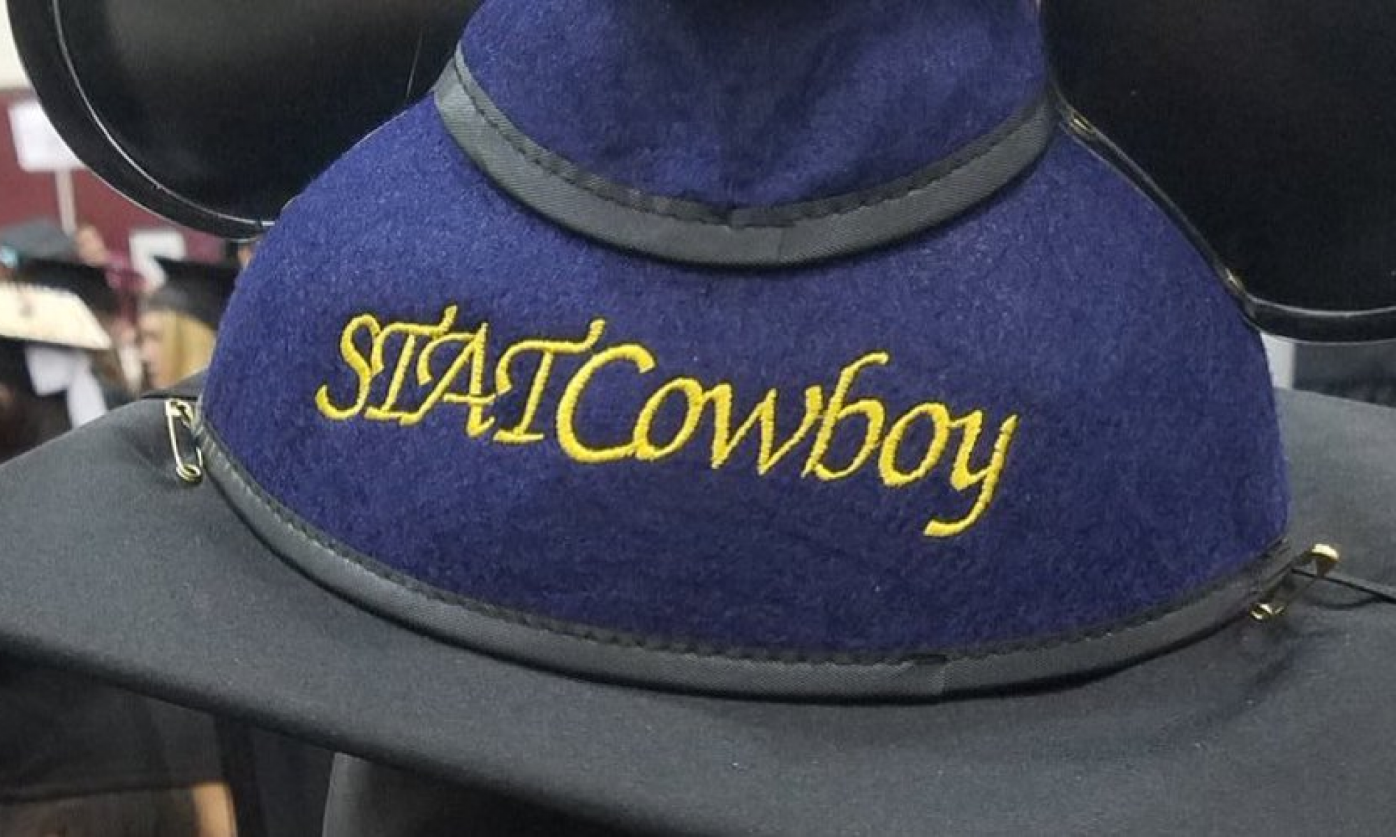
My Career Journey Over the Last 20+ Years
October 25, 2016
Jamey Johnston (@STATCowboy)
So I am at the EMP in Seattle attending the SQL Summit 2015 Appreciation Event and I am introduced to Denise McInerny (t) by my good friend Wendy Pastrick (t | b). Of course, the common pleasantries are exchanged, “My name is …”, “I work at XYZ company …” and “I do ABC job …”, which in my case is “My name is Jamey Johnston, I work at an O&G company and I am a Data Scientist”. Denise’s response was not quite what most people’s response is when I tell them I am a Data Scientist. Usually I get a general look of trepidation or the occasional, “Oh, you are an unicorn!” (true story, several times), but in Denise’s case she says “You should write a blog about your journey to become a Data Scientist” (or something along those lines). I thought that might be a fun blog to write and said “Sure!”. So here is the story of my journey to becoming a Data Scientist.
10 PRINT “My Name is Jamey”
So, I am an eight-year-old living in the suburbs of New Orleans and I want a computer, a Commodore Vic-20, and I get it! I plug it in and connect it to the color console TV in my living room and turn it on. Within 10 minutes I have written my first program:
10 PRINT “My Name is Jamey”
20 GOTO 10
30 RUN
The next thing I see is the greatest thing I have ever seen – “My Name is Jamey” scrolling across my parent’s TV screen as fast as I can read it! I sit there and watch it go across the screen over and over and over again finally asking myself – “How do I stop it!?”. I scan through the manual that came with the Vic-20 looking for the correct key combination to stop it! No Luck and no Internet in 1982 so I do the only thing I can think of to stop it – “Unplug!”. I loved that computer and it was what fueled my desire to learn more about computers!
GIS and College
Fast forward to college and I am a 19-year-old who just finished his first year of college as a Psych major and I get a job with the Civil Engineering department at school working with GIS and Remote Sensing technologies. My father had started in GIS and Remote Sensing back in the 70’s for Wetlands research working for the Department of Interior so I was familiar with GIS and Remote Sensing and I was excited to work with big workstations, lots of data and getting to work in the same field as my dad! So these big workstations were SGI and DG boxes running from 25Mhz to 100Mhz processors! Your phone is probably 100 times faster!
Two years later I finish my junior year and I am still working on GIS and Remote Sensing projects, one of which was to run clusters against tiles of Thematic Mapper satellite data of the entire state of Louisiana and then use those clusters to classify them into land use and land cover categories (i.e. is this cluster water or agriculture or coniferous forest, etc.). I was working with ESRI and Erdas Imagine software and learning UNIX which was really fun and beneficial to my career.
I loved being a GIS and Remote Sensing technologist but I was still a Psych major! I wanted to change majors but the problem was my University only had ONE geography class! So there was no way I could stay at the University of Southwestern Louisiana and get a GIS degree. I transferred to LSU to start in the Fall of 1995 which had a great GIS program through the Department of Geography and Anthropology to get a BS in Geography with an emphasis in GIS and Remote Sensing. I also went to work for the GIS Center at the Louisiana Department of Environmental Quality (LDEQ) continuing my career in GIS and Remote Sensing. It took me two more years to finish school as I had to take 36 hours of Geography to graduate. My first semester was 12 hours of Geography with a Geography 1001 class up to a Graduate level class of Geography 4998 and a music class I believe. It was a fun semester to say the least.
I graduated in Spring of 1997 from LSU and continued working for the GIS Center in the field of GIS and Remote Sensing. I also started working with another cool technology, Relational Database Management System (RDBMS). ESRI had created the first version of ArcSDE which was a way to store your spatial data in a database. In my case it was Oracle. We had Oracle v6 and v7 databases at LDEQ and I was starting to learn them to support ArcSDE along with some other technologies that required RDBMS.
Stayed tuned for Part 2 tomorrow – DBA to BI!

